
Nelson’s Dockyard
UNESCO site with restored Georgian naval buildings and a marina.
Quick history, fun facts and must‑see spots — get the backstory before your tour.
Eastern Caribbean; two main islands + islets. Area ≈ 442 km² (171 mi²).
~100,000 people; majority on Antigua; capital is St. John’s.
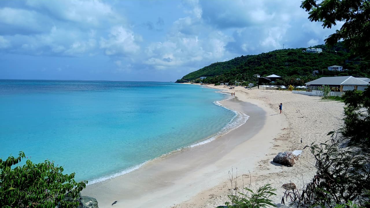
Famous for “365 beaches” — one for every day of the year.
English (official); Antiguan & Barbudan Creole commonly spoken.
Eastern Caribbean Dollar (XCD); USD widely accepted.
Atlantic Standard Time (AST), UTC−4; no daylight saving.
Tropical maritime; Dec–Apr drier & breezy; May–Nov warmer with short showers.
Left‑hand traffic; temporary permits available; roads vary by area.
+1‑268; Type A/B (110V) and some Type G (230V) sockets.
Carnival (Jul–Aug), Sailing Week (Apr/May), Cricket fixtures, Sunday sunset at Shirley Heights.
Fungee & pepperpot, fresh seafood, ducana, saltfish; local pepper sauces.
Earliest inhabitants included the Ciboney; later Arawak and Carib peoples fished, farmed cassava, and traded regionally.
English settlement from the 1600s; sugar plantations relied on enslaved labour; English Harbour developed as a Royal Navy base.
Slavery abolished in 1834; 20th‑century labour movement grew; independence achieved 1 Nov 1981 with a service‑led economy.
UNESCO site with restored Georgian naval buildings and a marina.
Panoramic views of English Harbour — sunsets are spectacular.
A crescent of pink‑tinted sand with clear water and surf breaks.
Ready to explore Antigua with a local driver or rent your own vehicle?